|
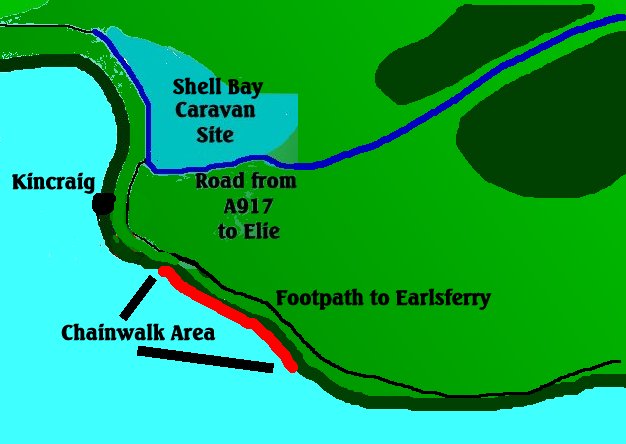
You can access this area by either following the previous directions for Shell Bay
Caravan Site,and then following the Fife Coastal Path,or by walking from Earlsferry.The latter though is much longer so I'd
stick to going by Shell Bay.Follow the footpath on past Kincraig Point,and all of that path between there and Earlsferry can
be called the chainwalk.
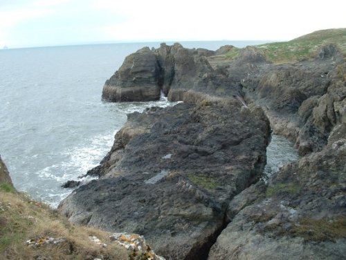
Although most of this area is quite easily accessible,one of the marks is a flat rock
area which can quickly be cut off by the tide.It is located directly below some WW II installations and can be seen in the
second photo.This particular part is also at the bottom of steep cliffs and can be difficult to negotiate.Be very careful
if fishing this area.
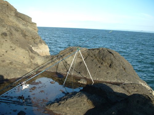
Other parts of the Chainwalk as pictured here are very safe rock marks and in general
fish onto sandy and shingly ground so there is not much in the way of snags.Actually,if there were just a bit more rocks and
kelp,it would probably make the mark much better.
Chainwalk Facing West
Species here will include cod,coley,pollack,mackrel,and flounder.Not in great numbers
though,and winter fishing would be better but infinately more dangerous in the dark.
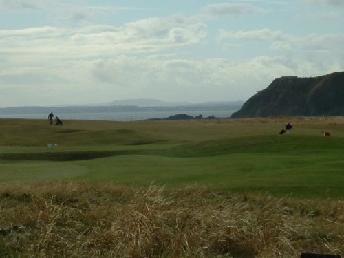
View of WW II buildings on the cliff taken from Earlsferry.The low
rocks in this photo are the one in the previous photo.
There are lots of safe marks in this area,and have equal amounts of fish to the
tricky ones.
|